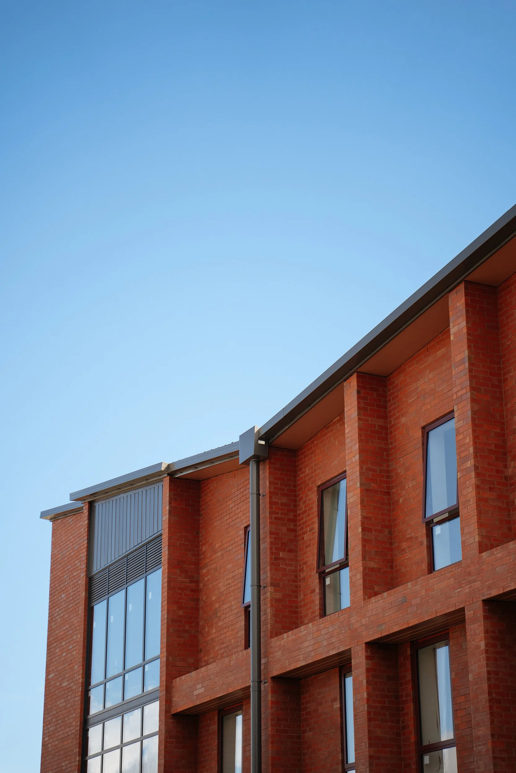
See your site from above. Know exactly where you stand.
Precision drone mapping for construction, earthworks, and survey teams across Auckland and Waikato. Accurate data on your schedule. CAD-ready outputs. Every flight timestamped.
Accurate site data. Faster decisions. Less risk.
Centimetre-level accuracy
High-resolution orthomosaic maps with georeferenced precision. Overlay your CAD drawings directly on aerial data to verify that what's on the ground matches what's on the plan.
A timestamped record of every stage
Each flight builds a visual record of your project as it progresses. Once the slab goes down and the walls go up, that data is irreplaceable — and it's exportable in formats your team can actually use.
Report-ready. Insurance-ready.
Progress reports are clean and shareable. Your flight history is exactly the kind of documentation insurers, quantity surveyors, and project managers want to see.
Ready to get a clearer picture of your site?
We work with construction companies, earthworks contractors, and survey teams across Auckland and Waikato. Whether you're managing a single site or multiple projects, Clarkland delivers accurate aerial data on a schedule that fits your build — and outputs your team can act on immediately.
Construction projects move fast. Decisions get made on incomplete information. Work gets buried under concrete and never seen again. Clarkland gives your team a clear, accurate, georeferenced view of your site — updated on your schedule — so nothing gets missed, nothing gets disputed, and nothing gets forgotten.
We use DroneDeploy, a leading construction mapping platform, combined with CAA Part 102 licensed operations to deliver data you can actually act on.